
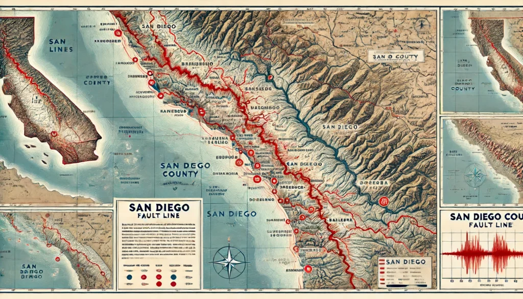
San Diego’s Fault Lines: Understanding the Region’s Seismic Activity
San Diego’s Fault Lines Welcome, fellow adventurers! If you’re like me, the natural wonders of our planet never cease to amaze you. Today, we’re diving into a topic that’s as fascinating as it is essential: San Diego’s Fault Lines. This journey will take us through the intricate web of seismic activity that shapes this beautiful …
San Diego’s Fault Lines: Understanding the Region’s Seismic Activity Read More »